
Before the Vischer Ferry Preserve was established; even before the 1842 enlarged Erie Canal was abandoned in 1917 the area south of Riverview Road was a very different place than we see it today. The area was open agricultural land having been farmed by generations and cultures of native peoples and several generations of Europeans including Dutch and English. The community around Clutes Dry Dock was thriving.
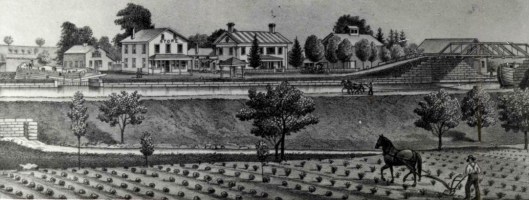
A portion of the Clutes community drawn before 1878. Note the dry dock to the left and the culvert and stream to which the dry dock was drained. – from Clifton Park Collection
Fertile agricultural land will slowly grow back to mature forest in as little as two or three human generations.
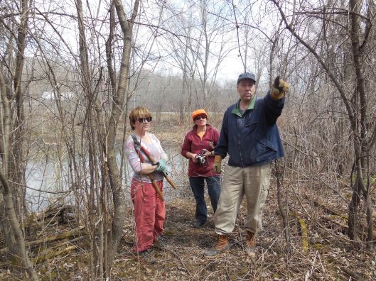
The Friends of the Mohawk Towpath Byway have explored the area around Clutes and re-establish some of the historic connections to improve recreational potential. After three successful work details there is a trail between two farmer’s bridge abutments along the Mohawk River, the current Erie Canal.
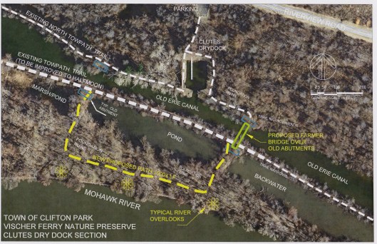
A map drawn by Paul Olund on an areal photograph showing the current vegetative cover and some of the features including a newly re-established trail between two farmers bridge abutments.
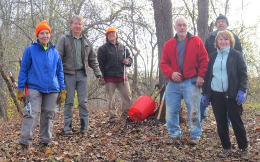
A trail cleanup crew discusses what seems to be part of the early “Clinton’s Ditch” north of the Clutes Dry Dock.
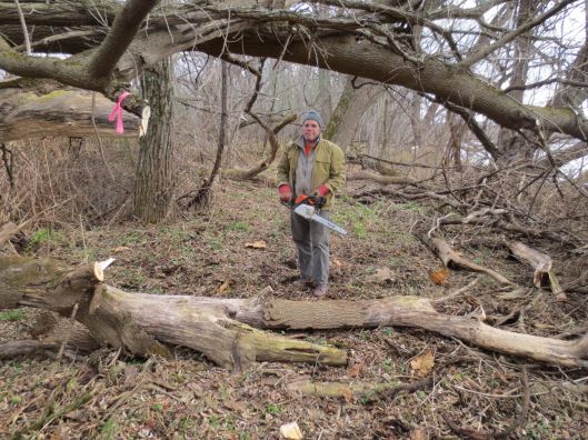
A total of 39 person hours with hand tools and three hours of chainsaw use were required to re-establish the connecting trail between the two farmer’s bridge abutments.

