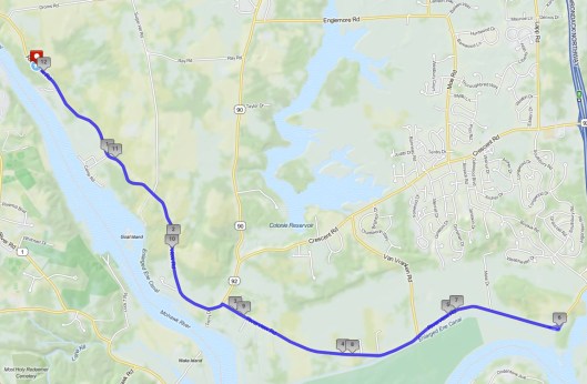
Early advocates of the Mohawk Towpath Byway envisioned a reconstructed Towpath through the Vischer Ferry Nature and Historic Preserve into the Town of Halfmoon. The eastern end of the trail will connect to Canal Road, rise a slope in a northerly direction just west of the abutment of the I-87 Northway southbound right of way and drop in elevation to meet the historic 1842 Erie Canal towpath and then proceed westerly across the outlet of Weger’s Pond, pass on the south side of the Canal in the vicinity of Clutes Dry Dock, and emerge on the Water Authority Access Road in the Preserve.

The Towpath Trail with the 1842 enlarged Erie Canal beyond the trees to the left.
The two Towns began the project in very early spring by cutting larger trees along what will be a 10 foot wide trail. The trees had to be removed before the end of March when endangered species start their return for the nesting season. This is in one of the remotest parts of the two towns.
Construction crews are now just east of Clutes Dry Dock near the power lines with a chipper and saws clearing for better access and more refined trail work.
It is hard to imagine this being part of the major route through the Appalachian Mountains almost 200 years ago. By 1842 more than 100 canal boats a day would pass through this part of the Erie Canal, propelled by draft animals, mostly mules on this south berm of the Erie Canal. By December we will all be able to hike the reconstructed trail from the Preserve through to Canal Road then east along the Crescent Park Trail to the Route 9 Bridge at Crescent.